TMB Day 3: Les Chapieux to Rifugio Elisabetta (Italy)
Crossing the Border to Good Food
September 4, 2020
TMB Stage 3 Anti-Clockwise
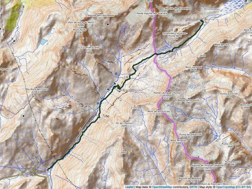
Map
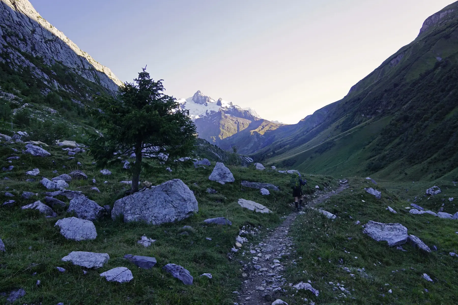
Photographers often take the best shots early morning or late afternoon, when the light is better. We tried to get an early start every day. Not always easy. That day we managed.
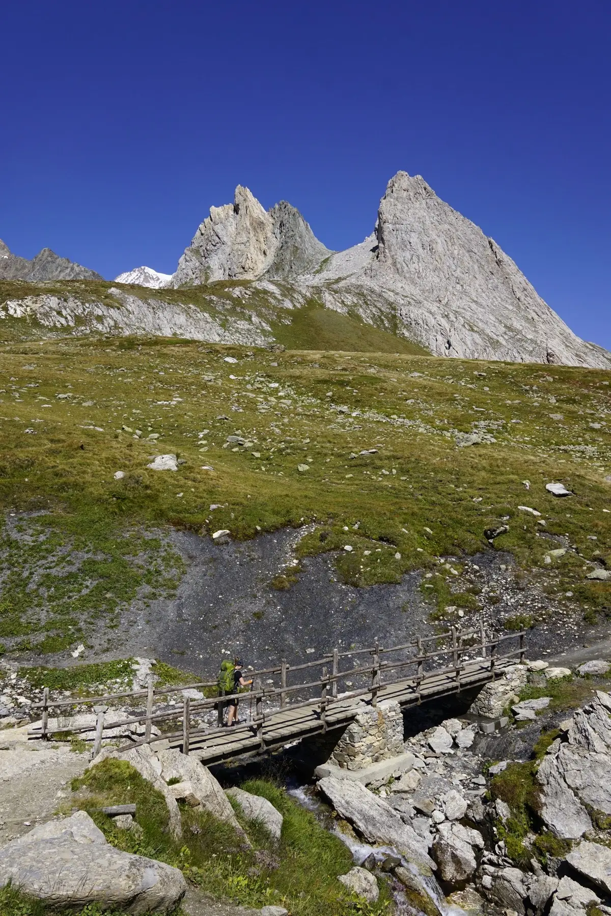
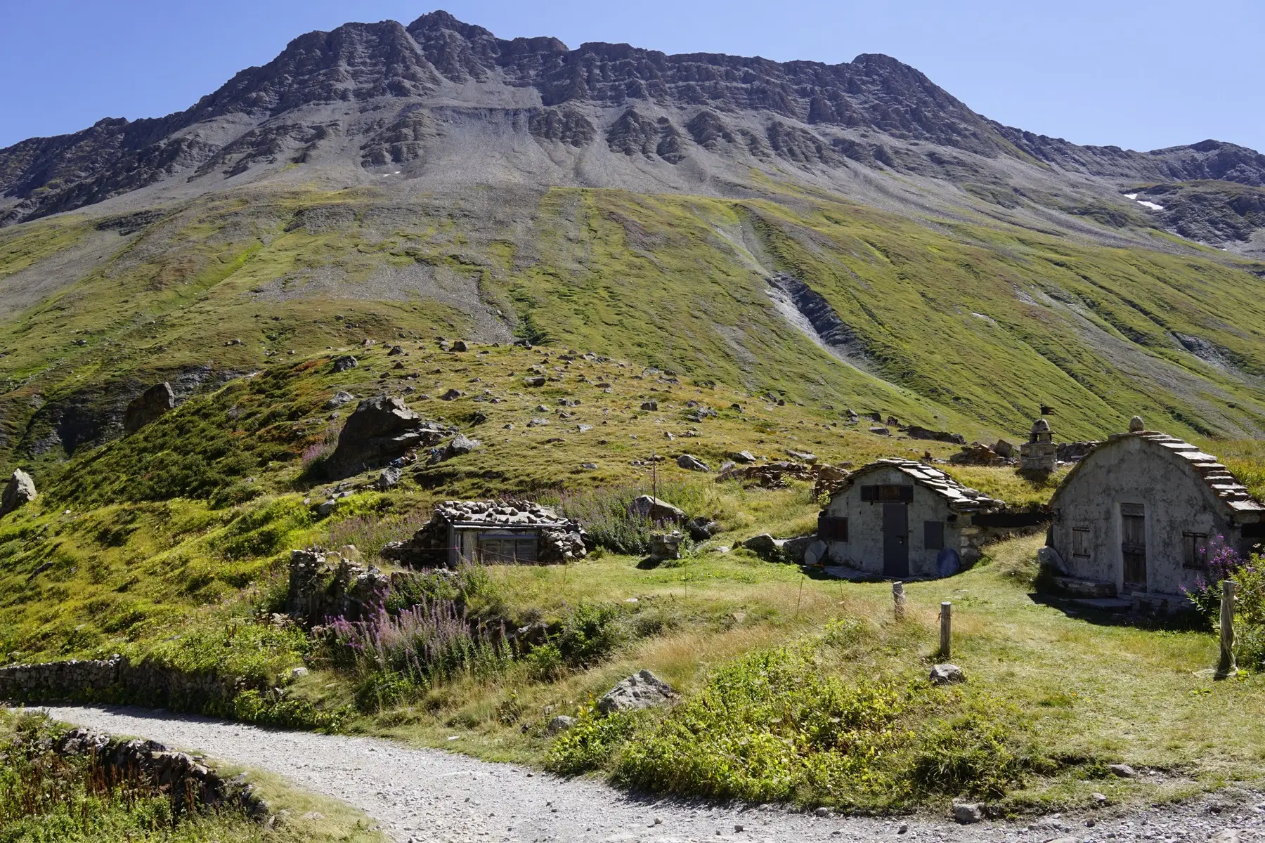
The morning is again cold, but the sky is clear. We follow the Torrent des Glaciers up to the Refuge des Mottets where the slope finally increases to reach the Col de la Seigne.
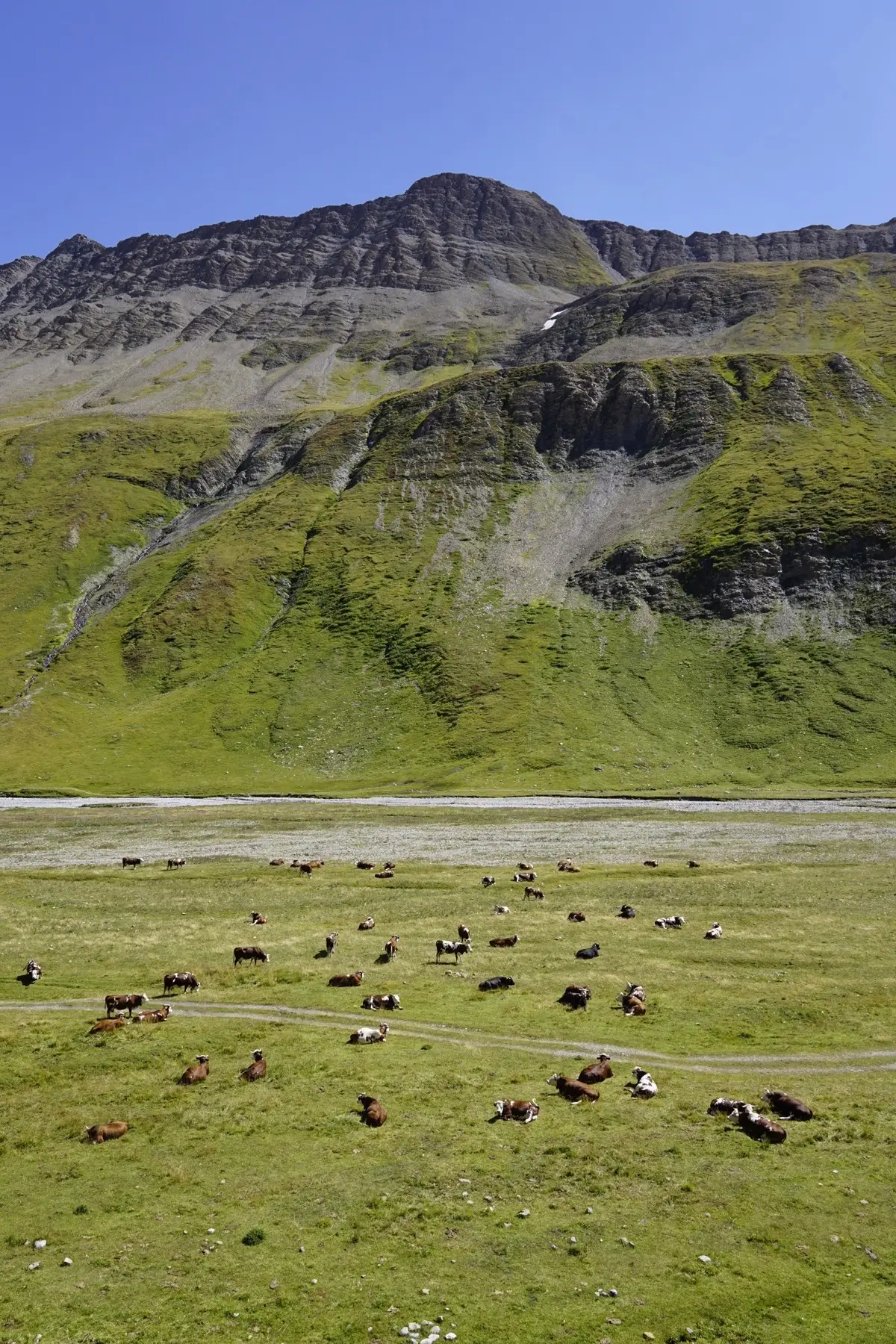
On the way, we meet our cow friends. Of course, they are standing right where we need to cross. Of course, there’s like a thousand of ‘em. We make it under the fence close to the river, under their inscrutable eyes. Success.
We reach Col de la Seigne and thus Italy for an early lunch. The sun is shining.
Located at 2516 m high, the Col de la Seigne offers incredible views of the Mont Blanc and surrounding mountains and valleys. This pass was already frequented during Roman times, as it is easily accessible both ways.

In June 1940, the Italians declared war on the French. The first battles will happen at the Col de la Seigne between the Italian Alpinis (alpine hunters) and the French Sections d’Eclaireurs Skieurs. The French managed to stop the Italians between les Mottets and Les Chapieux by the end of the month. They fought in a terrible climate, with snowstorms and temperatures as low as -25°C.
That was your historical paragraph.
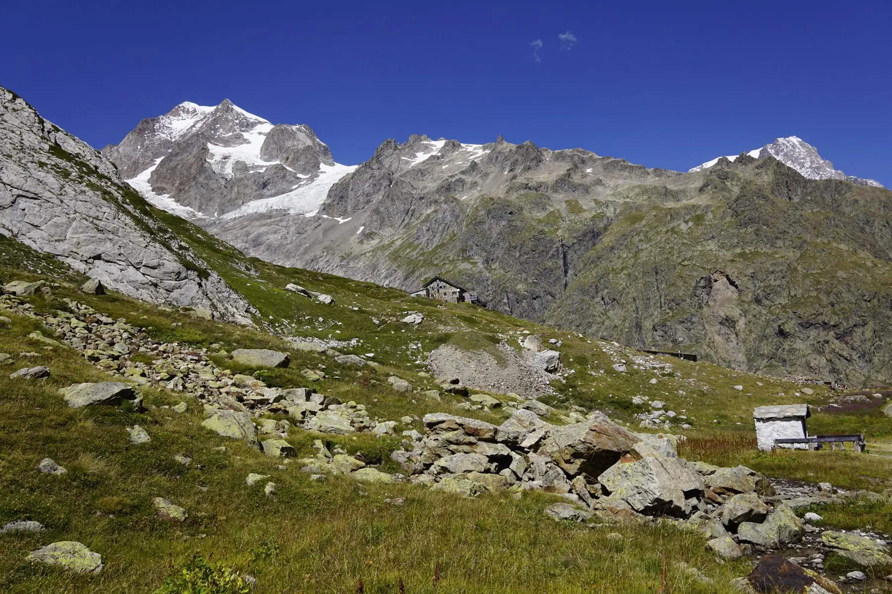
That’s our first refuge on the TMB. We must say that it was great. The evening food was delicious (the breakfast was a bit spartan), the views were beautiful, and the staff was friendly.
I must admit that I prefer the comfort of my bed and pillow. I still did not manage to have a restful sleep in any refuge. At least I fell asleep rather quickly. See you tomorrow.
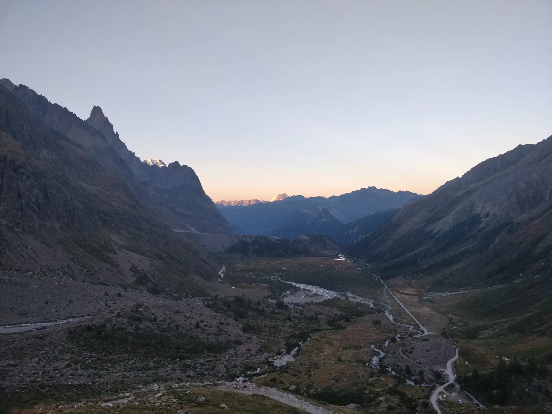
We crossed water and met some Italian cows before finally reaching the perfectly situated Rifugio Elisabetta. The refuge is named after an Italian hiker that passed away from an accident in the region.
